– Transparent Territory
– Vehicle
– Calligraphy and Cartography
– Nearfar Object
– Ecstatic Cartography
– Feral Map
– Vertical Aerial
– Agglomorate
– Depths in Feet
– Garden Carpet / Prayer Carpet
– Sculpture
– Vehicle
– Calligraphy and Cartography
– Nearfar Object
– Ecstatic Cartography
– Feral Map
– Vertical Aerial
– Agglomorate
– Depths in Feet
– Garden Carpet / Prayer Carpet
– Sculpture
GARDEN CARPET –
Persian Garden Carpets (dating
from the 16th century and earlier) were made with direct reference
to the astonishing artifices that was the Islamic garden traditions. Depicting
the formal fourfold garden layout as seen from an aerial viewpoint, they often
included idyllic scenes with fruit trees, birds and flowers. Through these
tapestries, an image of an earthly utopia could be brought into the living
space, and this lush symbolic garden could act as a portable paradise during
tumultuous or nomadic times.
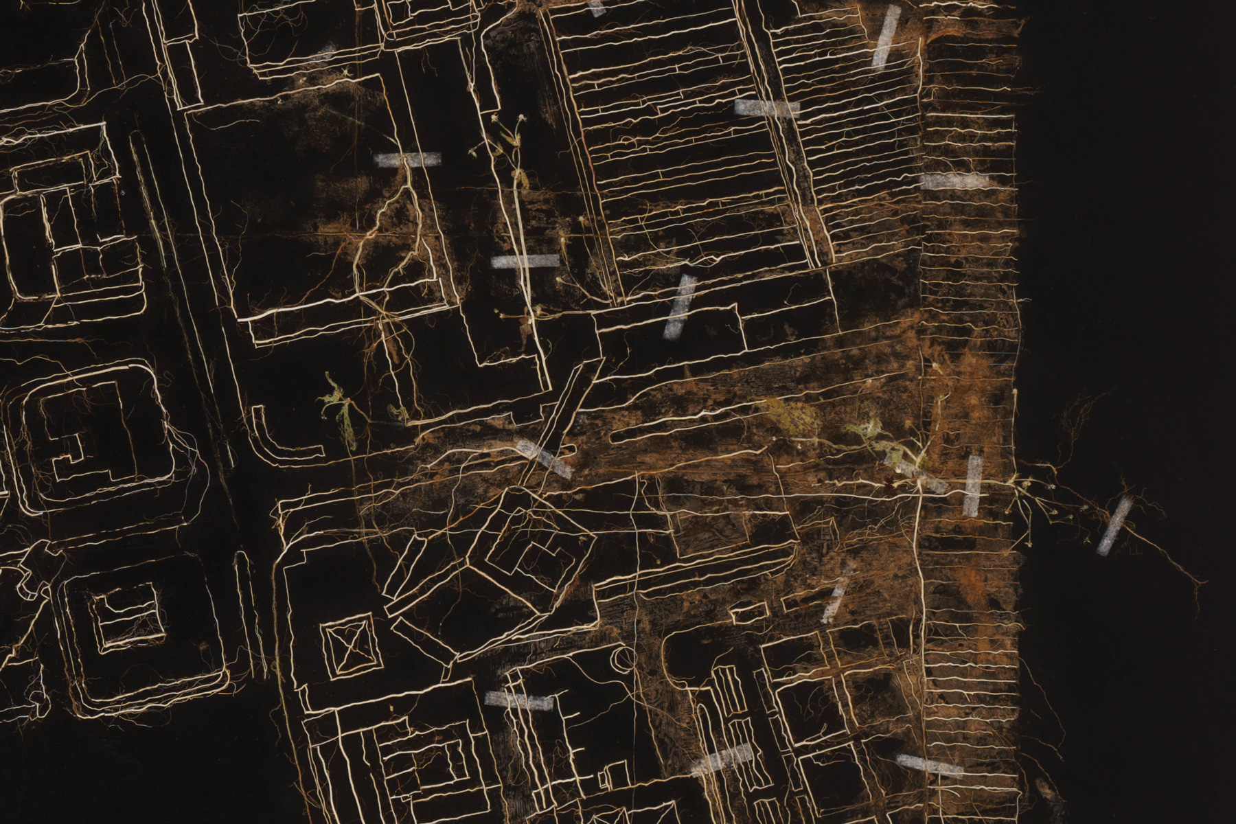
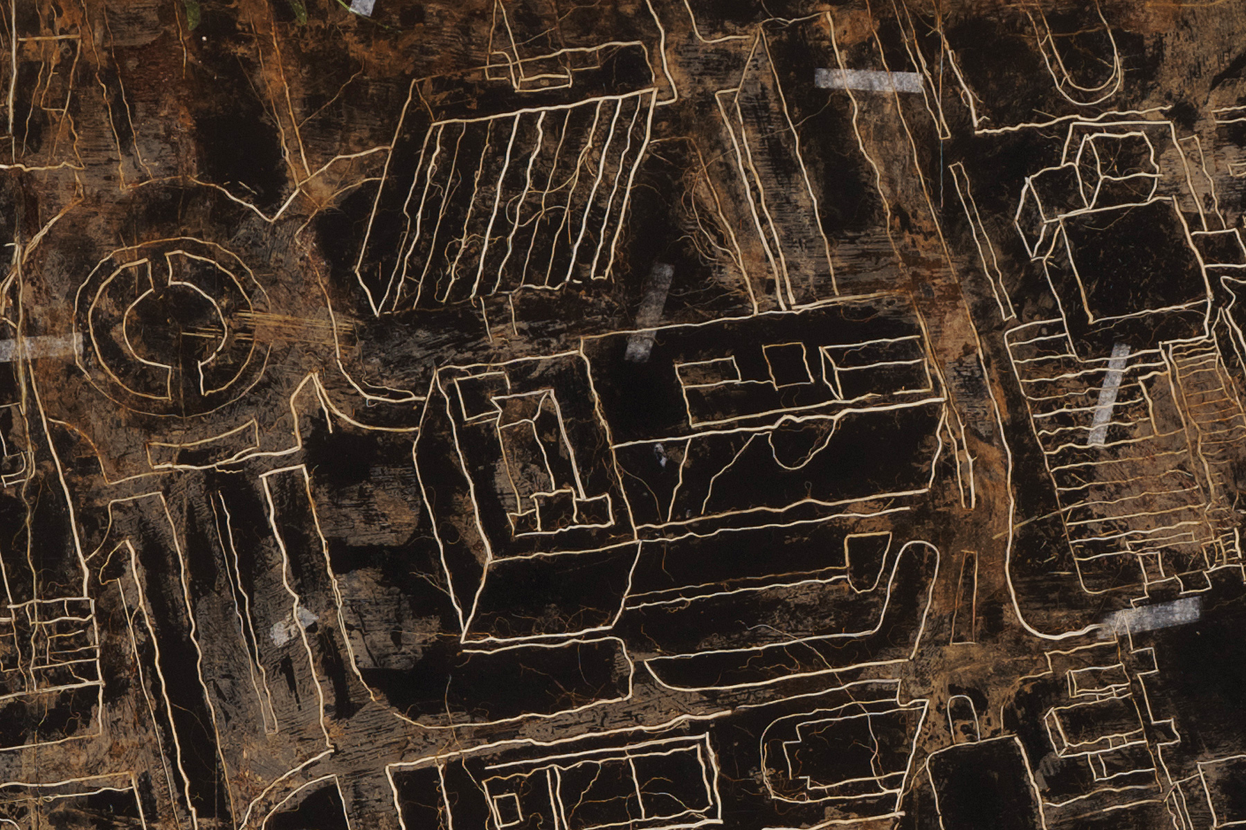
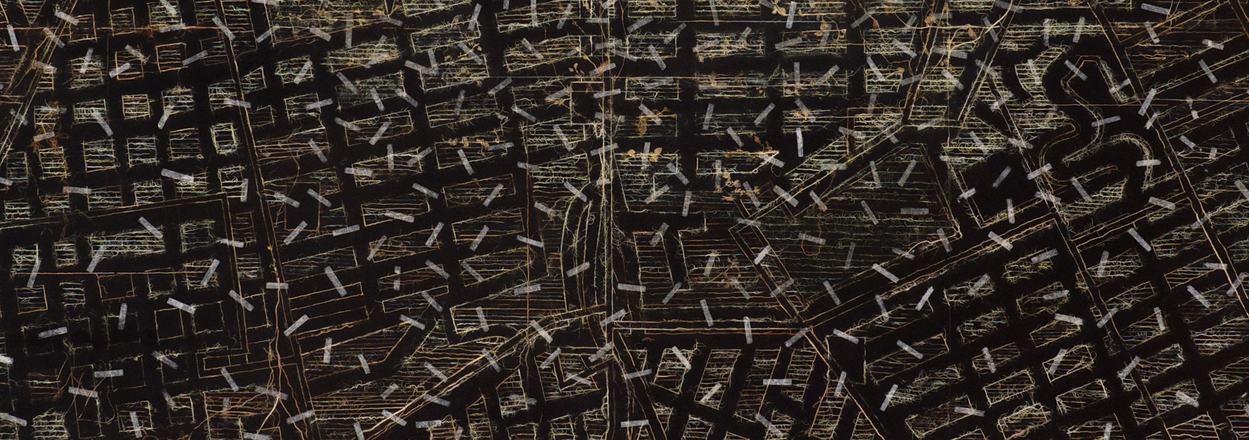
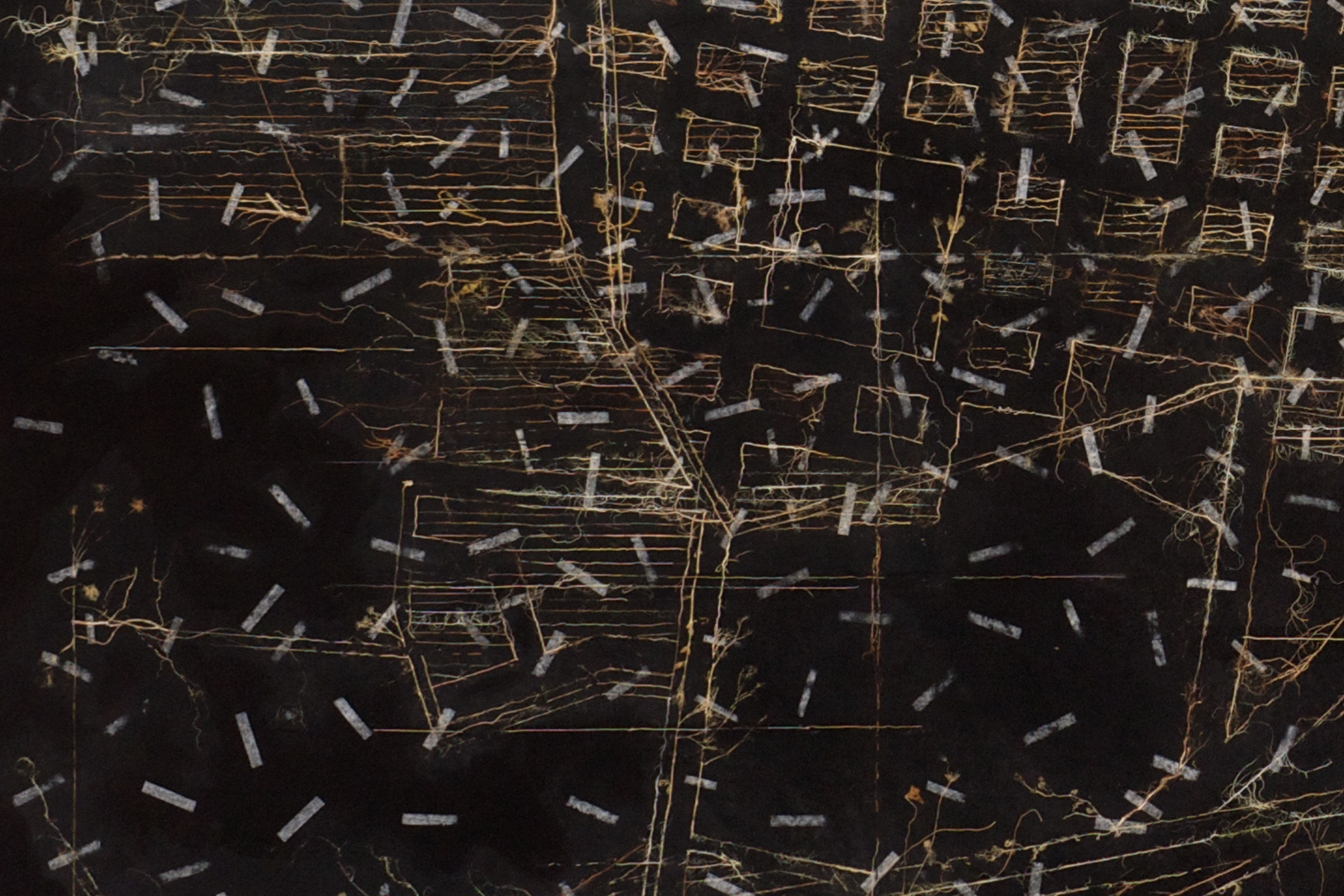
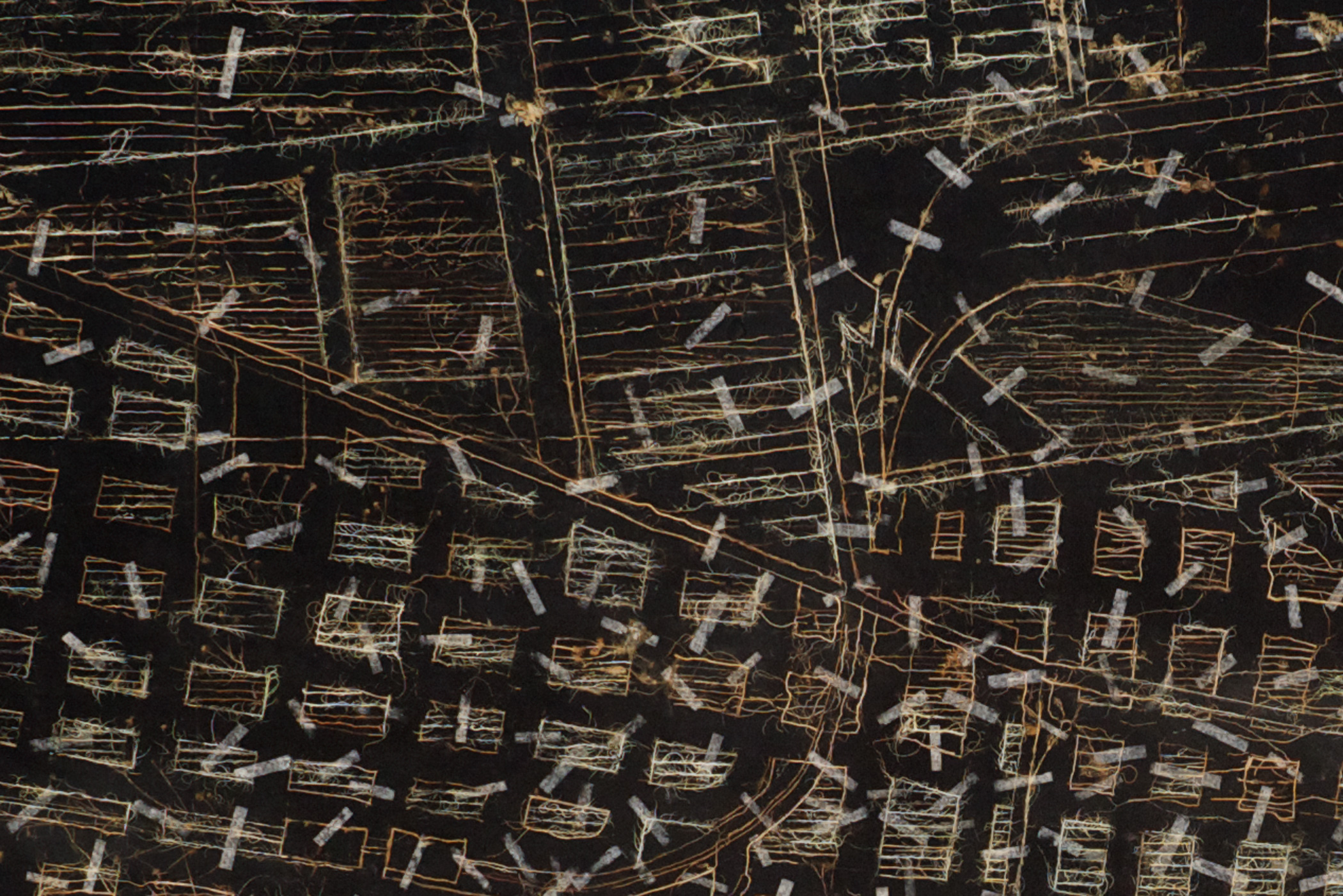
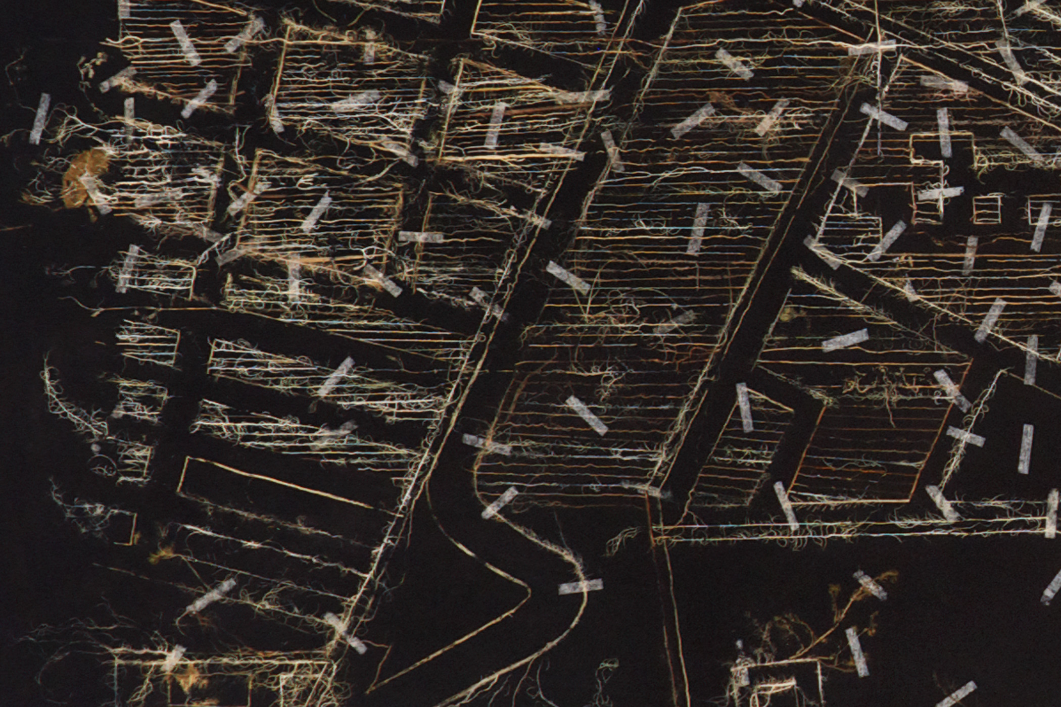
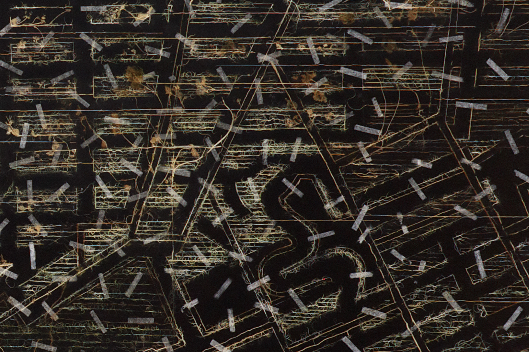
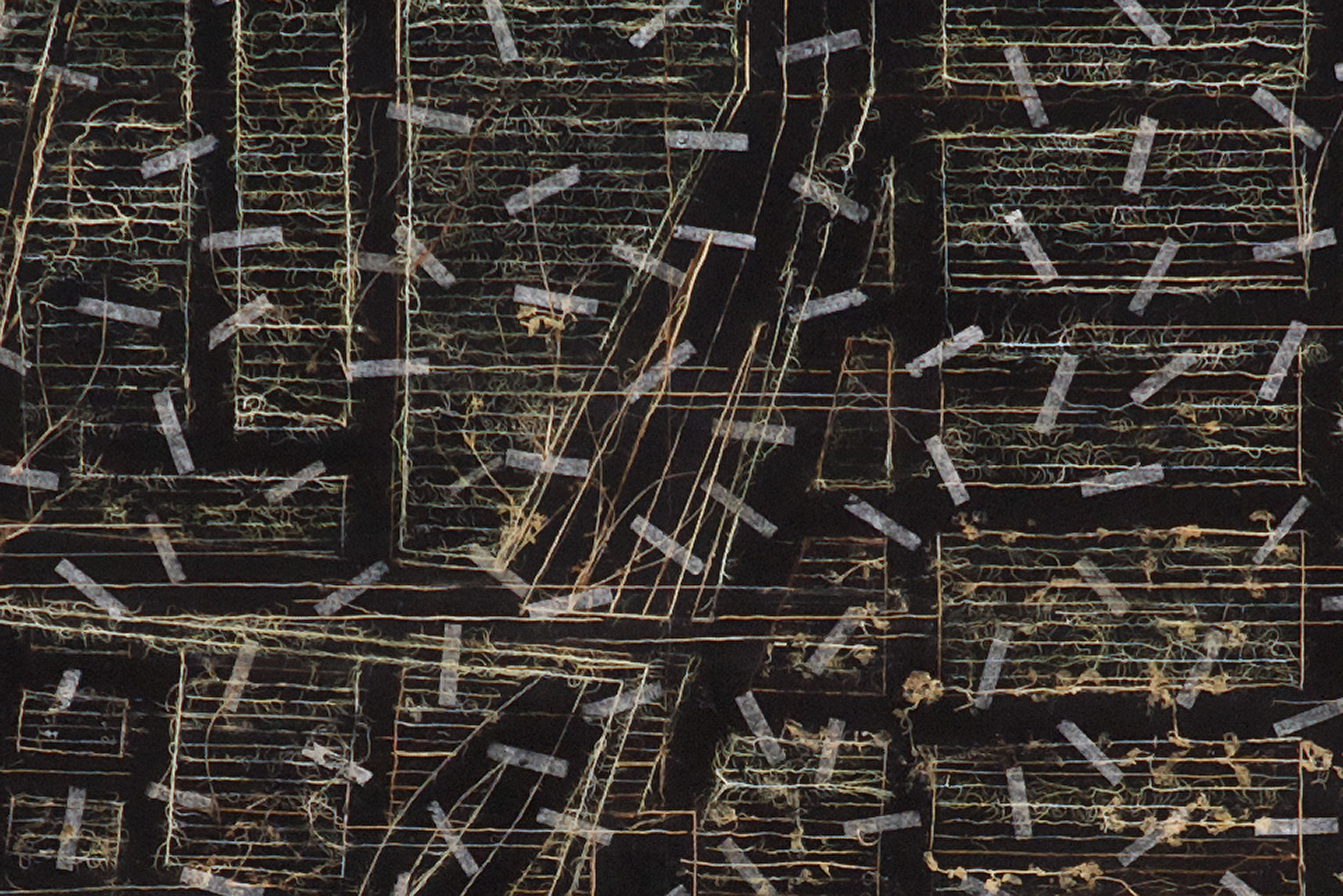
The Garden carpet for Johannesburg series is a set of six large drawings in which plant material; mostly roots and weeds are used to draw text-less road maps of parts of Johannesburg. The technique in which Garden carpet for Johannesburg was ‘drawn’ is one that was developed with reference to the manner in which plants are preserved in herbariums. In this case plant material is collected from interstitial spaces around Johannesburg. Wisps of plant is dried, pressed and selected for their particular “line quality”, and is then embedded in an acrylic and glue ground, after which it is sanded to reveal the wooden interior of the plant material. The organic line-work created in this manner stands in strong contrast to the crisp, certainty inherent of the line work of the city planner and urban cartographer. The visionary clarity of the map is lost to a physical, worn, materiality that speaks more to the romantic aesthetic of the ruin than the idealism of the traditional garden carpet or road map. A Garden carpet for Johannesburg is a threadbare map; it is a representation of a city in which the idyllic and the wilderness, development and collapse, co-exist.
– Read Lessons in Looking Down text by Mark Gevisser
PRAYER CARPET –
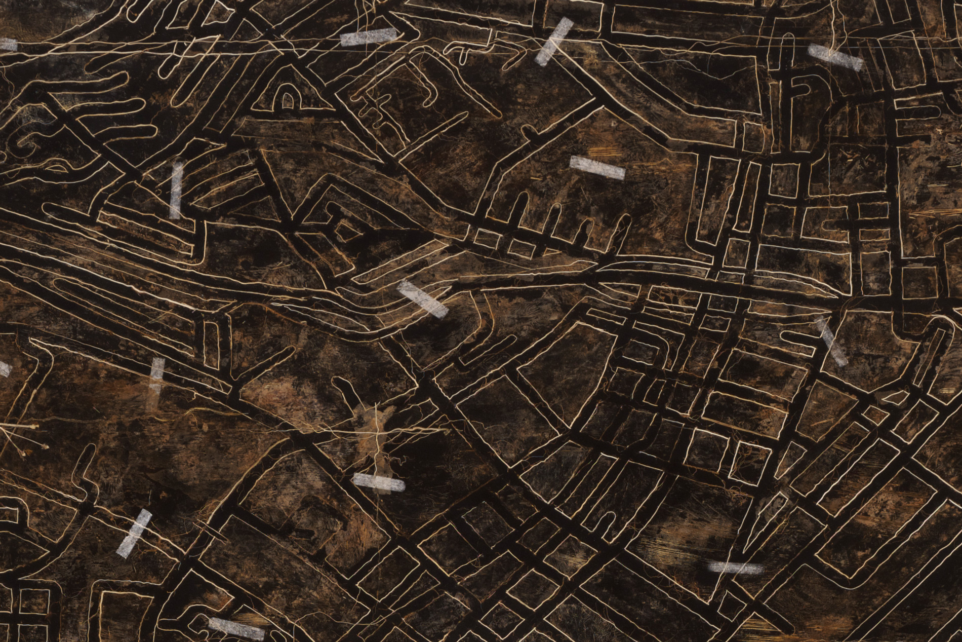
The Prayer Carpet Series builds on
the Garden Carpet series. The prayer carpets used in Islamic prayer rituals has
the image of the ‘mihrab’ (a semicircular niche in Mosque that indicates the
position of the Kaaba in Mecca and thus the direction in which prayer should
take place), placed central to the mostly decorative design of the carpet. When
used in prayer the individual bows ‘into’ this depicted negative space, the act
of praying involves an imaginative ‘entry’ into a two dimensional architectural
depiction. Prayer Carpet (Aerial) and Prayer Carpet (Map) relates this action
of distant surveillance and interpretive immersion with the contemporary
technologies of landscape depiction. These two depictions of the central Cape
Town was made using Google Earth satellite views. In turn, the drawings were
physically made with plant material, mostly roots and weeds that were collected
from Cape Town and surrounds.

Garden Carpet, Johannesburg [1], 2013
Plant material, tissue paper with acrylic ground on canvass board
120x180cm
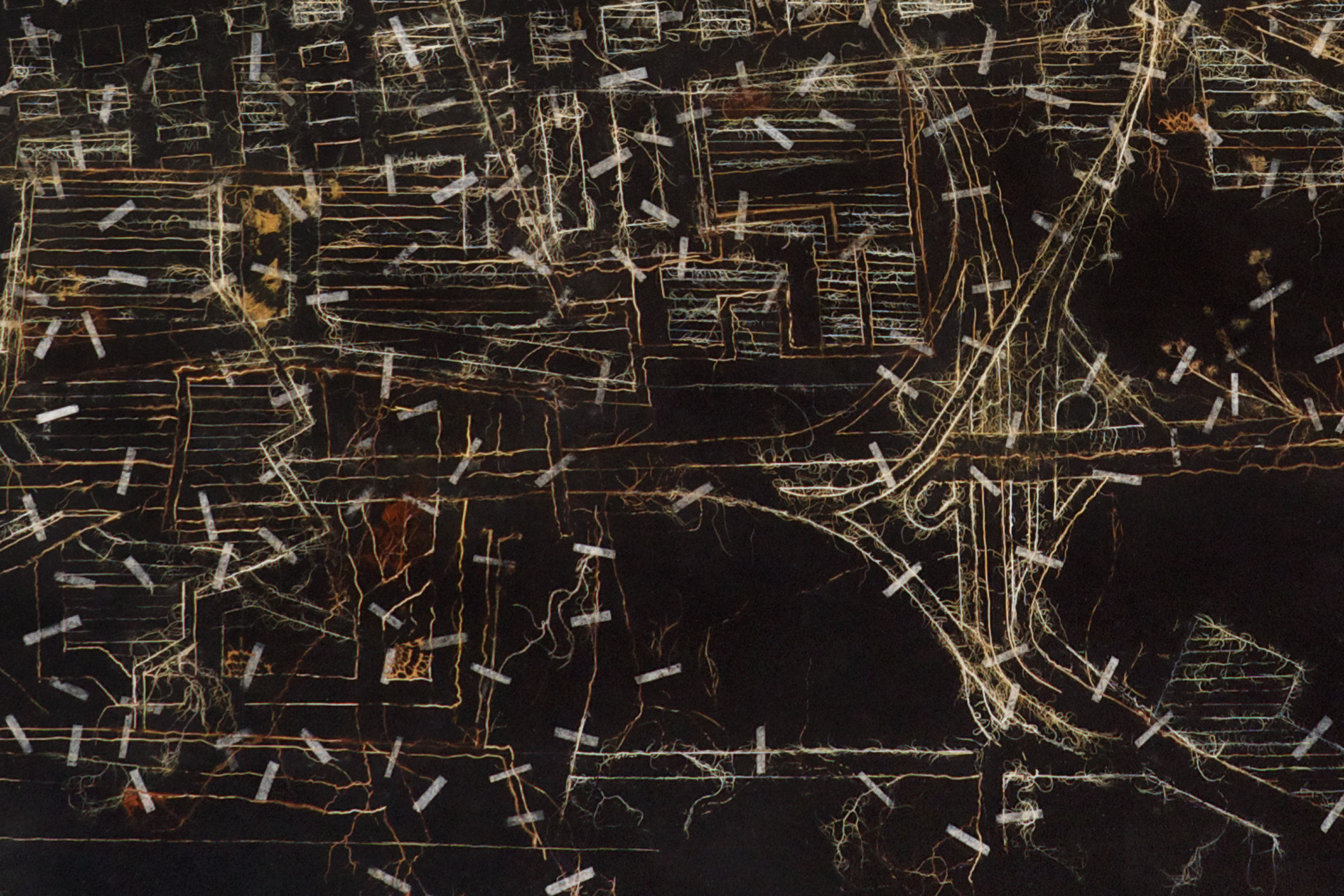


Garden Carpet, Johannesburg [2], 2013
Plant material, tissue paper with acrylic ground on canvass board
120x180cm

Garden Carpet, Johannesburg [3], 2013
Plant material, tissue paper with acrylic ground on canvass board
120x180cm


Garden Carpet, Johannesburg [4], 2013
Plant material, tissue paper with acrylic ground on canvass board
120x180cm
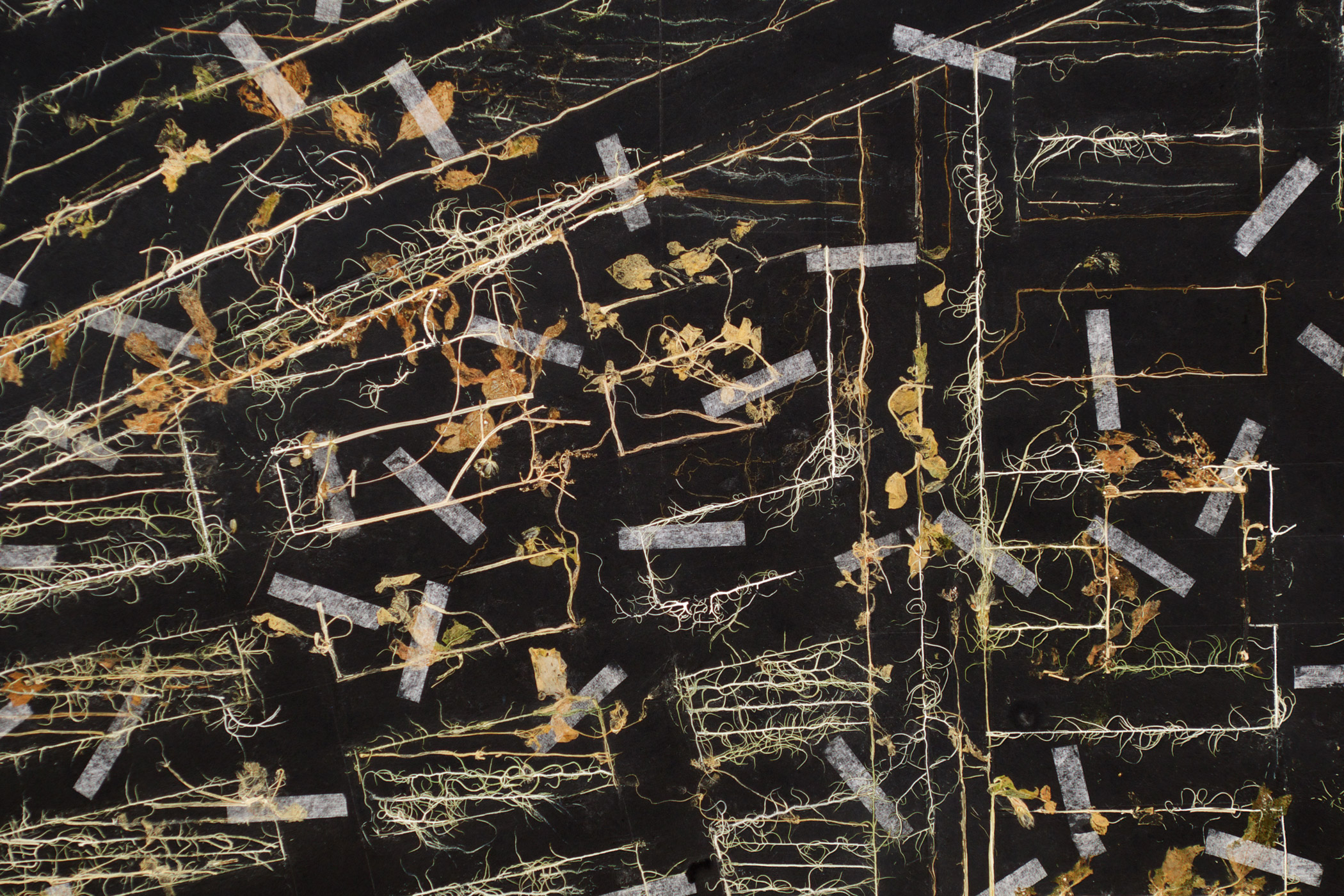

Garden Carpet, Johannesburg [5], 2013
Plant material, tissue paper with acrylic ground on canvass board
120x180cm
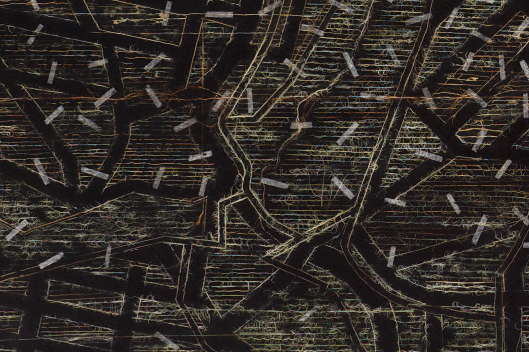
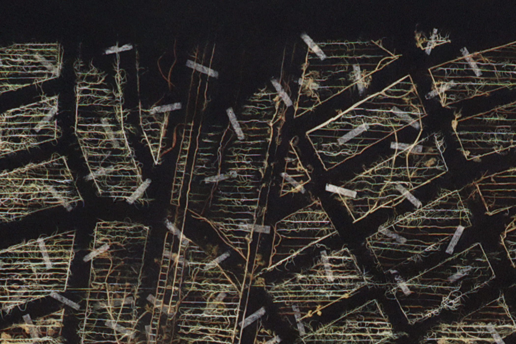

Garden Carpet, Johannesburg [6], 2013
Plant material, tissue paper with acrylic ground on canvass board
120x180cm
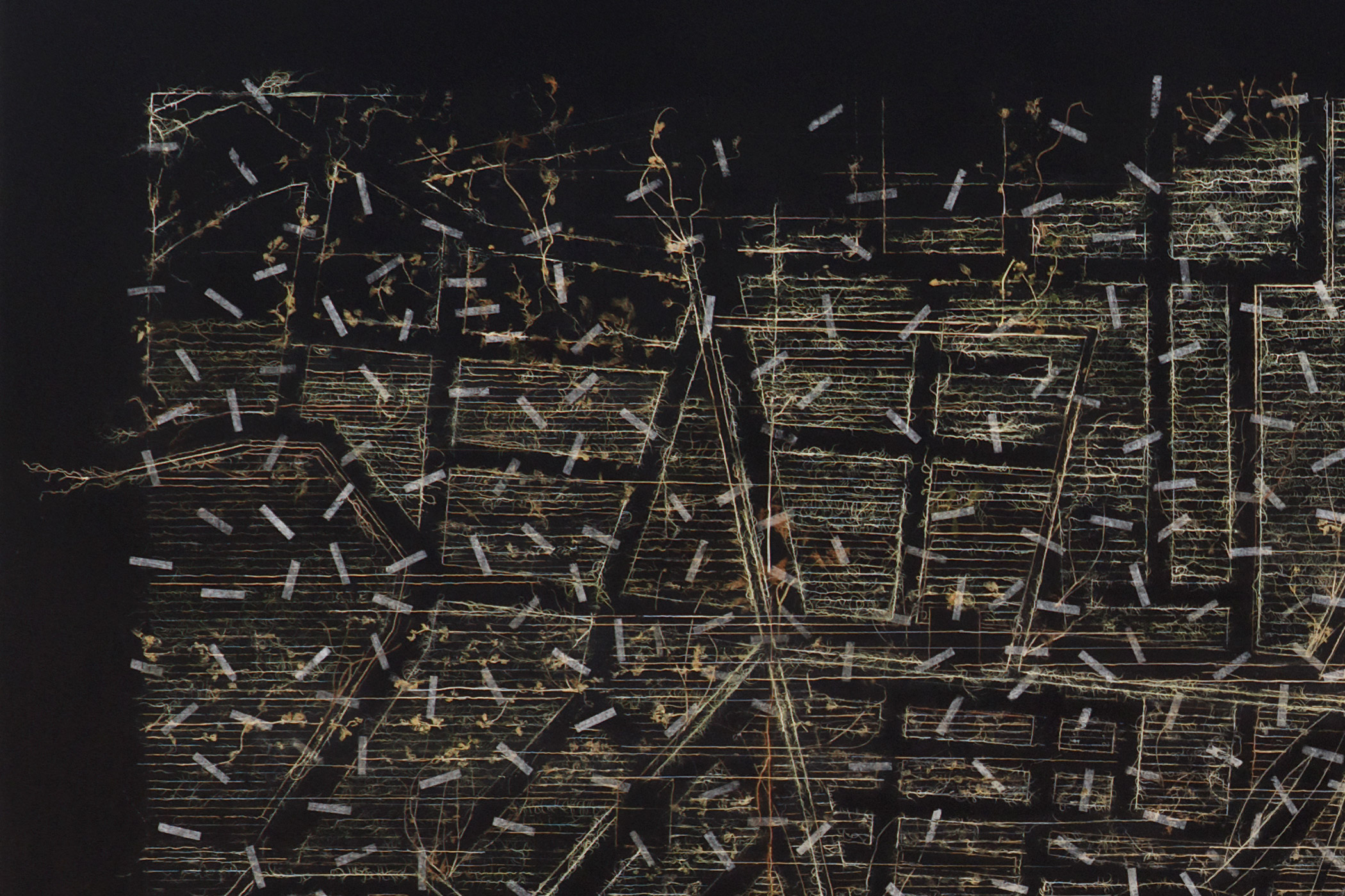
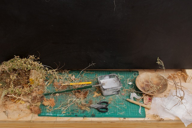
Garden Carpet, Process

Prayer Carpet (Map), 2014
Plant material, tissue paper and acrylic ground on canvass board
120 x 80 cm
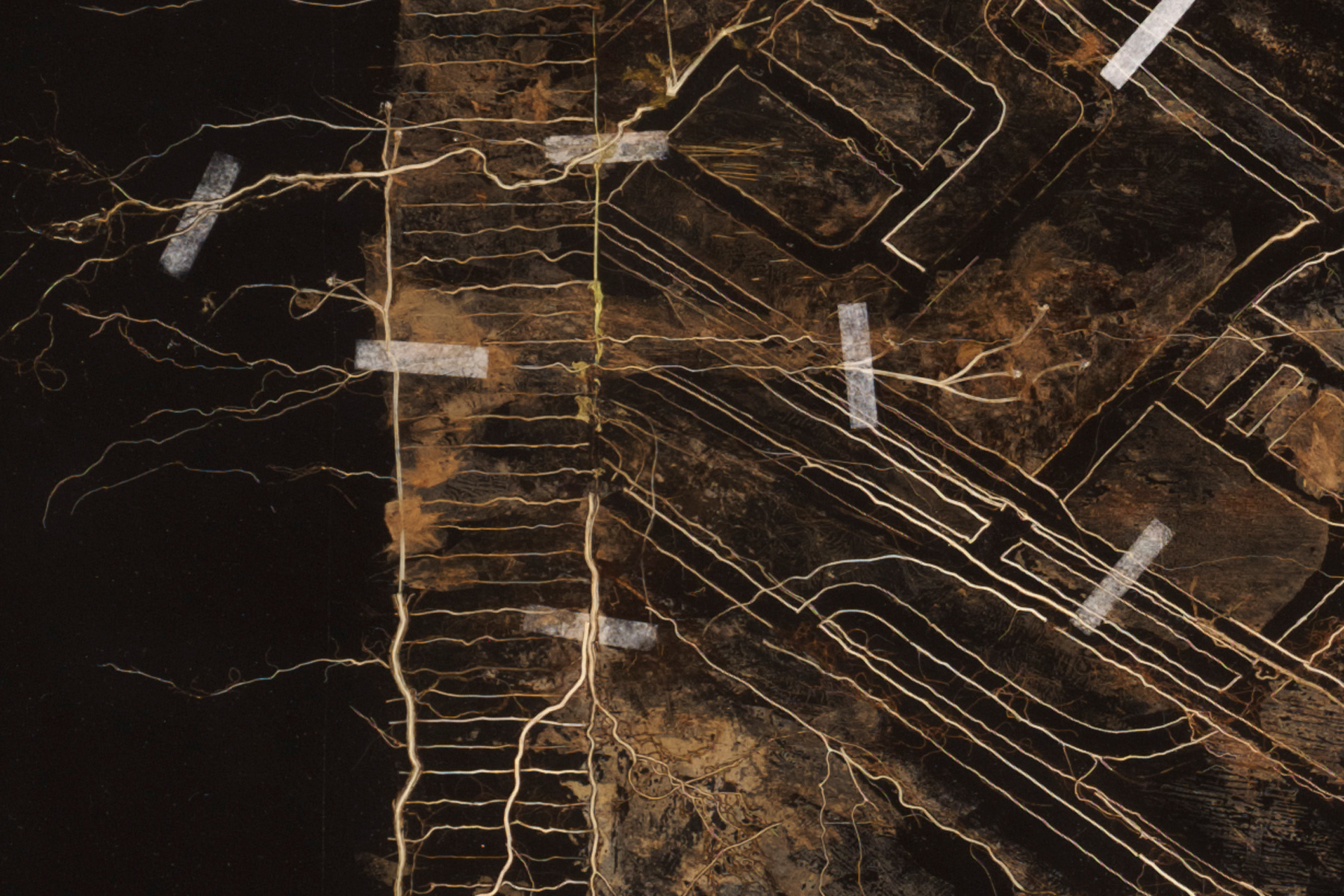

Prayer Carpet (Aerial), 2014
Plant material, tissue paper and acrylic ground on canvass board
120 x 80 cm
